Friday, June 4, 2021
U-Th-Pb Decay Systems 9/9/10 - ppt video online download
U-Th-Pb Decay Systems 9/9/10 - ppt video online download: Why are zircons and galenas Introduction to U, Th, and Pb Element Charge Radius (Å) U +4 (+6) oxic 1.05 Th Pb Th and U are highly incompatible and thus are concentrated in crustal materials and depleted in mantle Material U(ppm) Th Pb Chondrites Troilite Basalt Galena trace trace HUGE Zircon HUGE HUGE trace Carbonates Seawater (surface) 3 ppb 20 fg/g 2.7 pg/g Seawater (deep) 3 ppb 60 fg/g 5 pg/g Why are zircons and galenas the poster-children Of U-Th-Pb dating?
Friday, July 6, 2018
Mid Summer Update
 |
| Stranded vegetation shows the water level reached yesterday, after inflows from evening rain. The current was sufficient to redistribute gravel and fill in a shallow channel that had been localized along the east bank. |


Data from the nearest USGS current gauge, located downstream of the study reach,
at Bijou Avenue and Monument Creek.
Student interns completed the high resolution stream profiles at 25 meter spacing, and are working to bring these into GIS and generate a 3D model of the bedrock and gravel stream bed, which will include natural bedrock vanes and constructed vanes. An essay describing their work is just out online! Read more here.
 |
| View across Monument Creek at the mid point of the study reach, between Uintah Ave and Mesa Ave bridges. The berm and stone retaining wall (mantled with colorful red-green Middle Sawatch Sandstone) is in view in the middle ground, and Pikes Peak (Tavakaiv) rises upon the distant skyline, to west. |
Link to CCGeodesign bloGIS.
Wednesday, June 6, 2018
 |
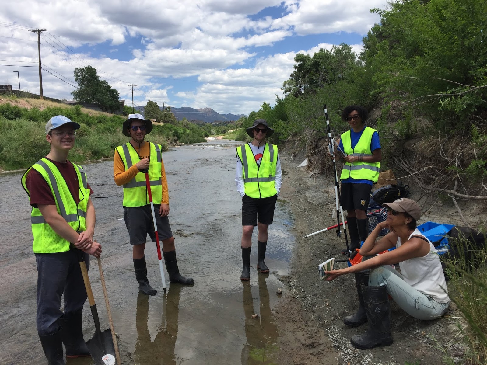
| First 'official' transect in the Monument Creek survey. Interns received training in use of Total Station laser measuring device (left side of photo) and Swofer current meter. The water level in Monument Creek is very low for this date in early summer, due to low winter snowpack in the headwaters region and long months with little precipitation in the Pikes Peak region in 2018. Maximum water depth on this transect was 32 cm (11")! Middle channel was stagnant. |
 |
| Training in use of survey equipment and current meter. Interns ably assume the task of accurate measurement, and soon will produce a stream profile between the constructed embankments that channelize this urban reach of Monument Creek. |
 |
| YAY. Training, check. Surveys: under way. This photo shows how the 'mentor' contin- gent (Cyndy, Matt, Christine) is feeling. |
 |
| Steve Weaver, Technical Director for CC Geology Department, joined the Geodesign Team today. Thanks for providing instruction, Steve! |
Tuesday, June 5, 2018
What better way to start the week...
... than with stream-profiling, outdoors on Monument Creek?
Here is a look at the team at work on a stream profile just north of the Uintah Avenue bridge. The water levels are very low. And -- very interesting to the geologists among us -- much of the gravel has been transported away, revealing the underlying bedrock of Pierre Shale.

Saturday, June 2, 2018
Close observation of Monument Creek
The first task is getting to know the stream reach! On Friday afternoon, after two days of discussion, reading of reports and published literature, and initial steps of assembly of the GIS database for the project, David Sachs and Will Rundquist got out on the bank of Monument Creek, for an assessment. State of New Mexico environmental scientist Karen Menetry joined in on the walk and discussion. She was returning to Santa Fe after attending the 2018 Annual Meeting of the Society of Wetland Scientists.
 |
| CC interns Will Rundquist and David Sachs met up with environmental scientist Karen Menetrey, to observe the creek and talk over examples of riparian restoration approaches that are successful in similar settings in New Mexico. |
 |
Reach of Monument Creek that borders the Colorado College campus. North is to right. google.com/maps/@38.8483712,-104.8283321 |
The Good Idea: Monument Creek Phase II, Slowing the Water
This Summer, three Colorado College interns will spend 10 weeks in the field and in the Geospatial lab, measuring stream morphology and flow, gathering data on the riparian ecosystem, and using science and geospatial data to develop a design for environmental restoration of Monument Creek. The project is Phase II of The Good Idea: Monument Creek, sponsored by Innovation at CC and State of the Rockies. Inspired by the Colorado Springs’ founding principles and Colorado College’s strategic plan, the aim of the project is to create a model framework for the kilometer-long stretch of Monument Creek that forms the western border of campus.
Student interns are:
 |
| From R to L: David Sachs, Darryl Filmore, Jonny Norwine, Will Rundquist, Cyndy Hines, and Christine Siddoway. The chocolate labs (water experts) are Pearl and Bessie. Photo: Mark Lee |
Will Rundquist, senior, Geology Major
Darryl Filmore, junior, Comp.Sci. Major
Collaborators/Mentors are :
Matt Cooney (GIS Technical Director)
Cyndy Hines (Program coordinator, Innovation and SOTR), with expertise in stream ecology & hydrology
Interns will gain strong GIS skills, experience in dialog with community stakeholders, and a strong grounding in the fundamentals of Geodesign. The objective of the summer work is to develop a 3D model design for remediation of the riparian environment along the urban reach of Monument Creek that borders the Colorado College campus. The hope is that the design will provide impetus for joint implementation of measures that will improve streamwater quality, mitigate impacts of floods, aid in education about how riparian environments function/enhance urban environments. The work is carried out in knowledge of the concerted work / ongoing projects of the Fountain Creek Watershed District; Colorado Springs Parks, Recreation, and Cultural Services; Colorado Springs Utilities; and Rocky Mountain Field Institute. Stormwater mitigation and the health of Monument Creek as a part of the Fountain Creek Watershed are an enormous priority for the City of Colorado Springs.
The geospatial database and 3D Geodesign will be used and refined by a larger cadre of students in Block 8, 2019, when CC’s Introduction to Geodesign course is offered for a third time. The landscape design models developed in the course will involve conversation and collaboration with community stakeholders, and culminate with models to be shared with campus and city decision makers who have an ability to aid the objective of reintegration of a clean, healthy watercourse into the CC campus and Monument Creek Park. The project is to be CC’s flagship contribution to Changing our Global Infrastructure, an international geodesign collaboration among academic instutions.
Financial Support is provided by the State of the Rockies Project and Innovation at CC at Colorado College. Thank you!
Subscribe to:
Posts (Atom)